After millions of years, you can still find traces of worlds long past in the deposited rocks. Information boards and maps provide information about the animal and plant species that existed here at the time, what the environment was like and what the climate was like.
Geopfad Salzgitter-Lichtenberg
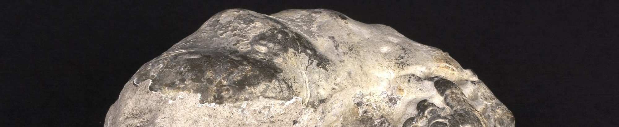
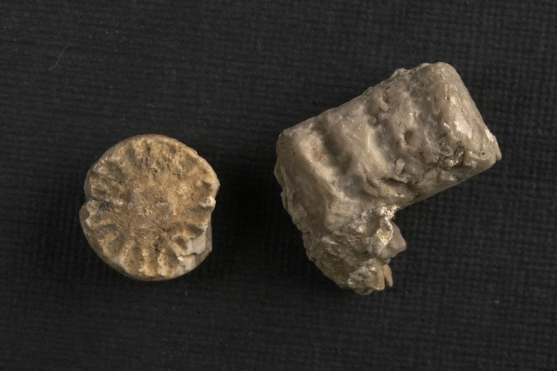
After more than 200 million years, fossilized remains of crinoids, ammonites and mussels are still present in the sediments of the Muschelkalk period. The remains of fish, pavement dwellers, plesio- or ichthyosaurs, which also lived in the Muschelkalk Sea, have only rarely been preserved.
Geopfad Salzgitter-Bad
The hike takes you through a time span of more than 150 million years, from the limestones of the Muschelkalk to the deposits of the Cretaceous period. You will mainly find the remains of sea creatures. The mineral resources salt and iron ore, the mining of which provided work and prosperity in Salzgitter, were also deposited here millions of years ago as the legacy of the seas.
Both Geopfads lead from Lichtenberg Castle or the Hamberg as a 6.5 to 8 kilometer circular hiking trail through the beech forest of the nature reserve. The maps of both tours are available for download at the bottom of this page.
Geopark Information Center Salder Castle
With its collections on the history of the city, in particular the ichthyosaur Platypterygius hercynicus found near Gitter, the finds of the ice age Neanderthal hunters' camp at Krähenriede (Lebenstedt) and the Eiszeitgarten, the Salder Castle Municipal Museum has been the information center of the UNESCO Global Geopark Harz since 2007. Braunschweig region. Eastphalia.
Sponsor of the UNESCO Global Geopark Harz. Braunschweiger Land. Ostfalen. are the Geopark Trägerverein Braunschweiger Land - Ostfalen e.V., based in Königslutter, and the Regionalverband Harz e.V., based in Quedlinburg.
