
Measures requiring approval in floodplains
Statutory floodplains in Salzgitter:
The following bodies of water have been designated as floodplains in the city of Salzgitter:
- In the area of the Fuhse between Nord-Süd-Straße at the level of the former Fuhsetal landfill and the street Hinter dem Knick in SZ-Salder,
- in the area of the Fuhse from Dammstraße in SZ-Salder to Bruchmachtersenstraße in SZ-Lebenstedt,
- in the area of the Fuhse from Westfalenstraße in SZ-Lebenstedt to the city boundary in the direction of Broistedt/Lengede,
- in the area of the Innerste from the city limits near SZ-Hohenrode to the city limits in the direction of Sehlde.
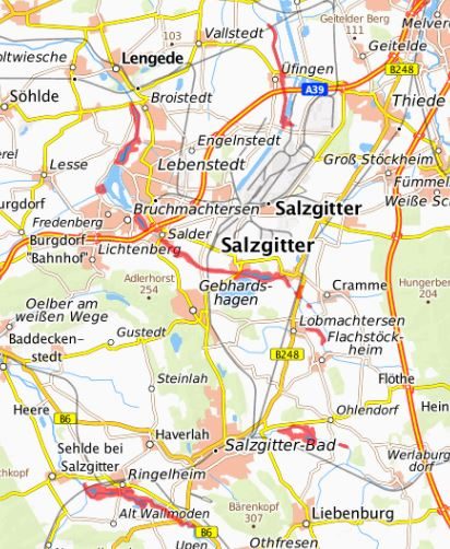
The geoportal provides further information in map form. For further information, please contact Ms. Alzer (contact below).