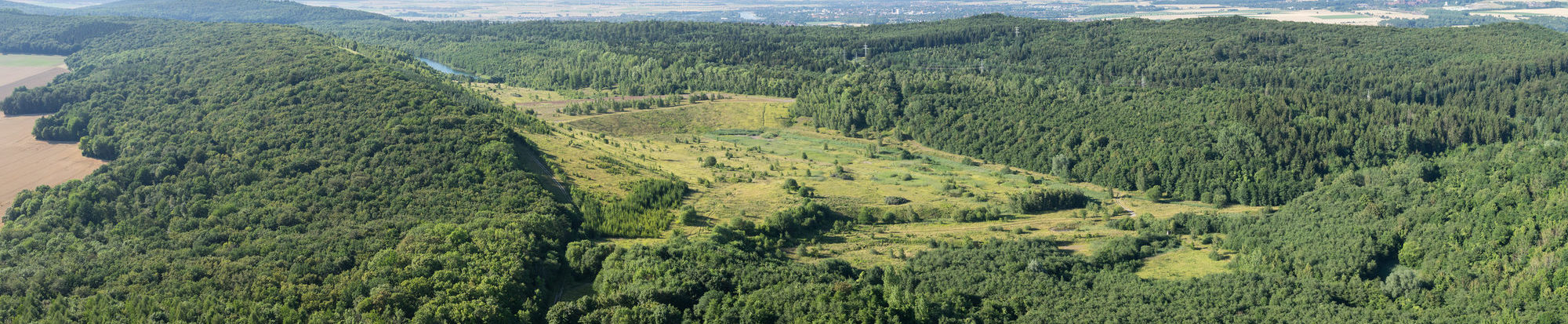

Geopfad Salzgitter-Bad
The Geopfad is a 6.5-kilometre circular hiking trail through the beech forests of the Salzgitter Höhenzug nature reserve. From the limestones of the Muschelkalk to the deposits of the Cretaceous period, the trail covers a time span of more than 150 million years. After all this time, the rocks still contain traces of the life forms of that time, which provide information about the living conditions and the climate that prevailed at the time. The salt and iron ore, the mining of which provided work and prosperity in Salzgitter, were also deposited in this area millions of years ago as the legacy of the seas.

Geopfad Salzgitter-Lichtenberg
The Geopfad is an 8 km circular hiking trail through the beech forests of the nature reserve. After more than 200 million years, the deposits of the Muschelkalk period still contain traces of the life forms of that time. The remains of crinoids, ammonites and shells are the most common. The remains of fish, cobble-toothed, plesio- and ichthyosaurs, on the other hand, have only rarely been preserved.

